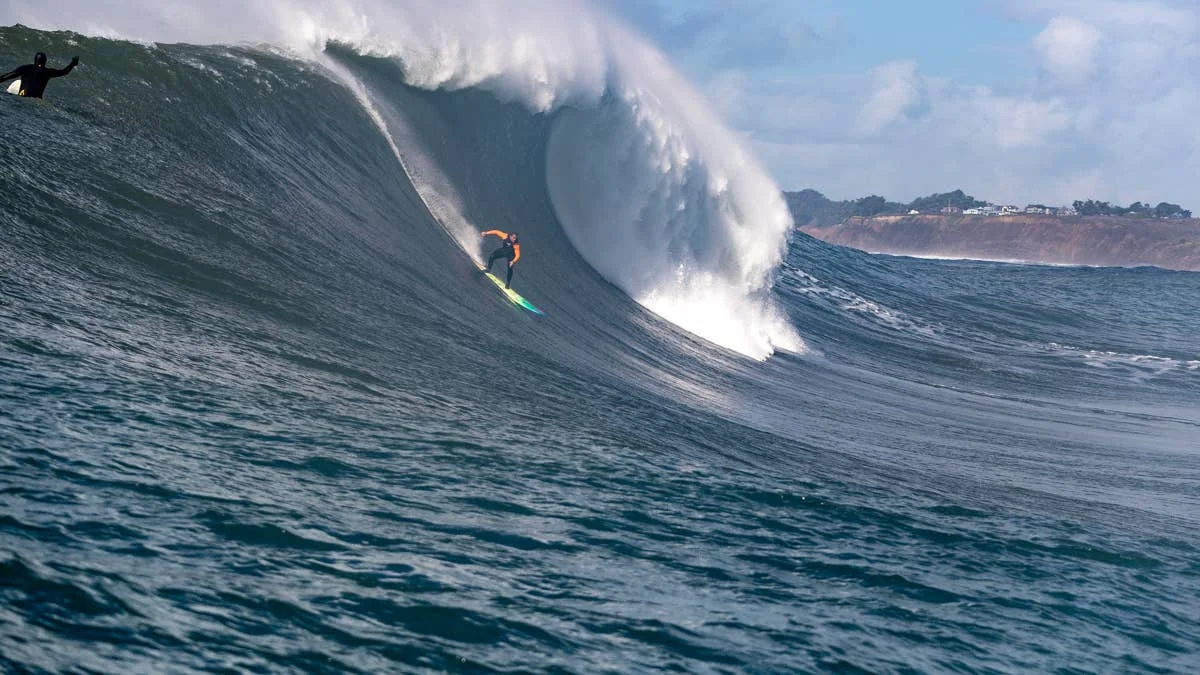
The surf outlook for an intensifying El Niño is strongest in the North Pacific, where past major events have coincided with powerful winter swell seasons. California and Hawaii could see substantial surf, including at Mavericks and Jaws, but the climate pattern can’t promise a particular session: storm direction, winds and local conditions still decide whether big waves are rideable.
That distinction matters across the rest of the Pacific and Atlantic, too. El Niño shifts weather patterns across the tropics and can influence storm tracks far beyond them, but its effects vary by region. In Japan, it can work against one source of winter swell while favoring another. In Europe, Atlantic storm activity depends more directly on atmospheric patterns such as the North Atlantic Oscillation (NAO).
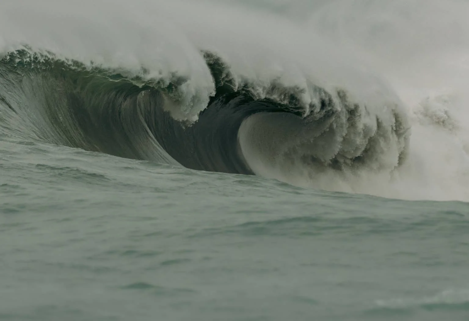
The North Pacific is the clearest wild card
El Niño is the warm phase of the El Niño Southern Oscillation, or ENSO, a natural pattern involving sea-surface temperatures and atmospheric circulation in the tropical Pacific. When waters warm across the central and eastern equatorial Pacific, the shift can affect jet streams, low-pressure systems and storm tracks. Those changes can shape where storms form and where their swell travels.
NOAA’s November assessment described El Niño as strengthening rapidly, potentially toward one of the strongest events in modern records. For surfers, the relevant question is how that developing pattern interacts with the winter storm track over the North Pacific. More storm activity can mean more swell, but it doesn’t automatically mean better surf: a large swell paired with unfavorable winds can produce rough, difficult conditions.
California’s past offers a useful, if imperfect, guide. The winters of 1982–83, 1997–98 and 2015–16 coincided with exceptionally strong El Niño events. In 1982–83, powerful North Pacific storms generated extra-large surf along the California coast, as well as significant coastal damage. The historical record points to potential for major surf when El Niño and the storm track align, not a guarantee that every break will turn on.
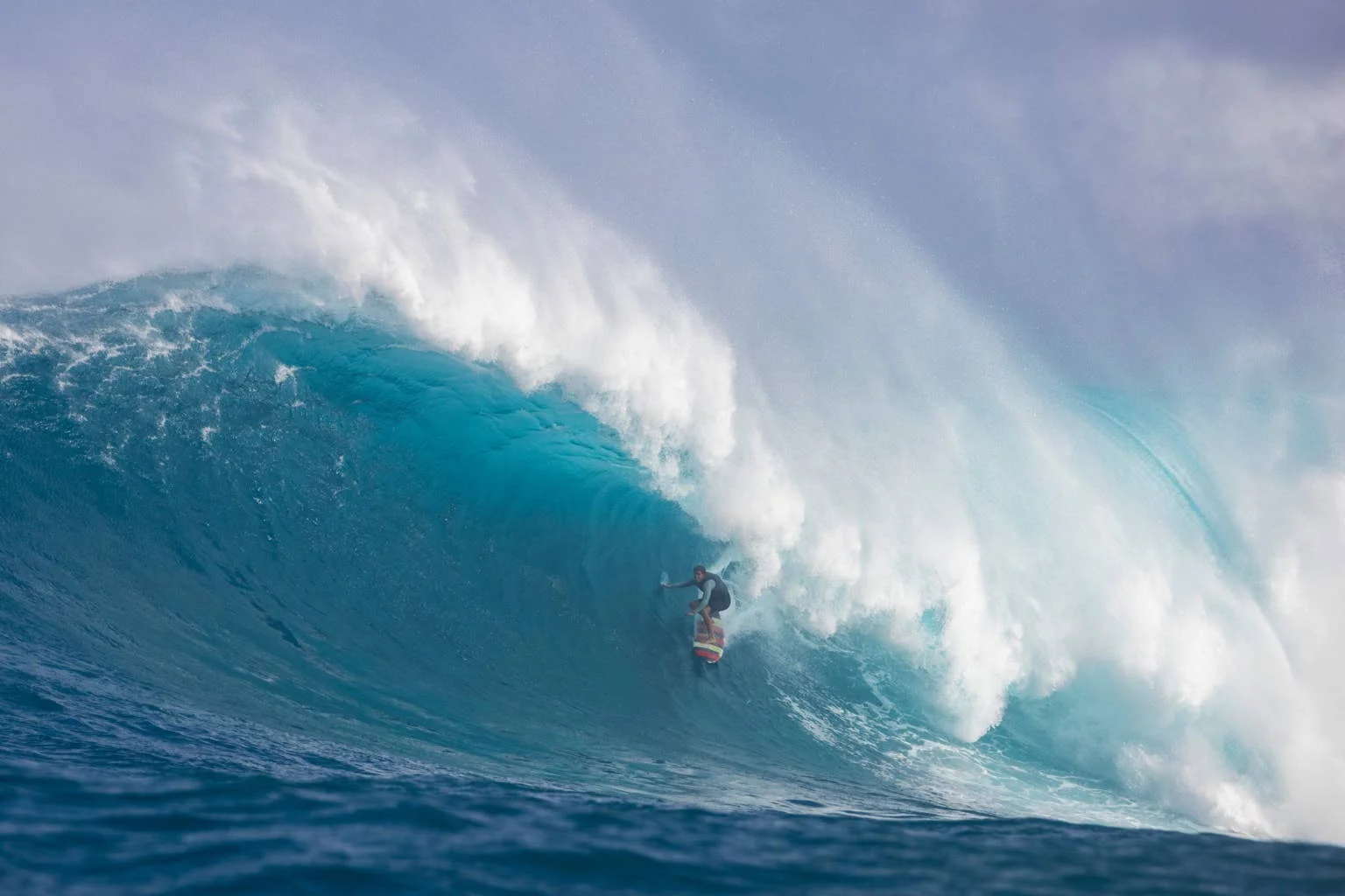
Hawaii’s North Pacific swell can also change during El Niño winters, though the outcome depends on where and how Pacific warming develops. The strongest historical analogues raise the possibility of a notable season for heavy-water breaks such as Jaws, just as California could see opportunities at Mavericks. The practical read is conditional: watch the storms and swell forecasts as the season unfolds, rather than treating El Niño alone as a surf report.
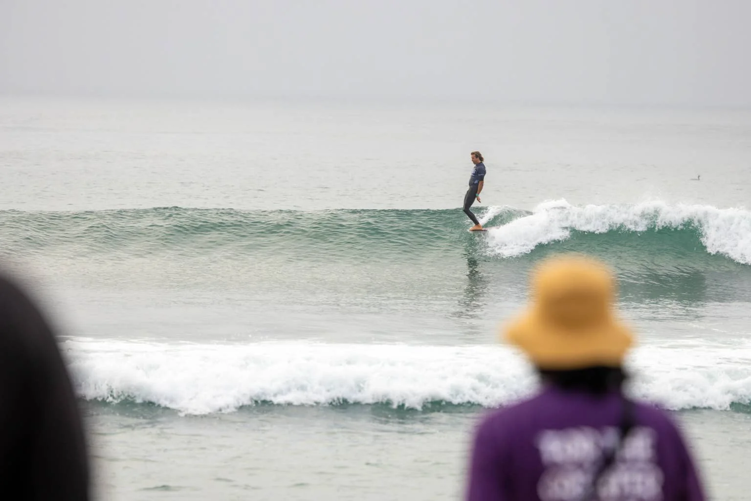
Japan may get competing signals
Japan’s outlook is less straightforward. A 2021 study, “On the Influence of ENSO Complexity on Pan-Pacific Coastal Wave Extremes,” identified an east–west seesaw in extreme wave activity: El Niño patterns can raise wave energy in the eastern Pacific while reducing activity in parts of the western Pacific. That finding cautions against assuming that the same climate signal will deliver the same swell outcome on both sides of the ocean.
Along the Sea of Japan, winter surf often depends on cold northwesterly monsoon winds blowing from Siberia. El Niño can weaken the Siberian High and the winter monsoon, potentially easing those sustained continental winds and reducing one source of organized winter surf.
At the same time, El Niño tends to increase storm activity along Japan’s southern and Pacific coasts. Areas including Chiba, Shonan, Shikoku and Miyazaki could see more frequent swell opportunities, but conditions may be variable. The two effects pull in different directions: weaker monsoonal winds in one part of the country, more storm activity along other coasts.
For Europe, the Atlantic pattern matters more
The Atlantic doesn’t experience El Niño directly. Its influence comes through wider atmospheric circulation, including shifts in the jet stream. That connection makes the European surf outlook harder to read from Pacific conditions alone: the North Atlantic storm track supplies much of the swell reaching the UK, Ireland, France and Portugal, while the NAO plays a major role in shaping storm activity and paths.
Research using ECMWF’s ERA5 climate analysis has found different atmospheric responses during early and late winter El Niño conditions. The winters of 2015–16 and 2023–24 offer comparisons: both had strong El Niño conditions and stormy weather across the UK early in winter. Met Office research published in 2026 reported similarities between those periods, including below-average pressure west of the UK.
Those parallels suggest that active Atlantic storm development is possible, with substantial swell-generating systems for Europe’s western edge. But El Niño doesn’t guarantee a stormy European winter. Cornwall, Devon, Wales and Ireland are exposed to Atlantic swell, while Portugal and western France can also receive powerful winter surf. The quality of those waves still depends on how storms travel and what winds follow them. A sequence of swell-producing systems followed by lighter winds can be more favorable than a large, onshore, storm-driven swell.
Signals to follow through winter
For California and Hawaii, the North Pacific storm track is the key near-term signal: its position and strength will shape the swell available to exposed breaks. In Japan, the balance between monsoonal winds and southern Pacific storm activity will help determine which coasts benefit. For European surfers, the NAO and the jet stream offer more direct clues to how Atlantic storms may develop and where they will travel.
NOAA, ECMWF and the Met Office provide seasonal forecasts that can help track how those patterns evolve, but regional and day-to-day conditions will decide what reaches the beach. The most useful takeaway is not that El Niño means bigger waves everywhere. It’s that this strengthening event raises the potential for significant North Pacific swell, while leaving plenty of room for regional differences—and for wind to make or break the session.