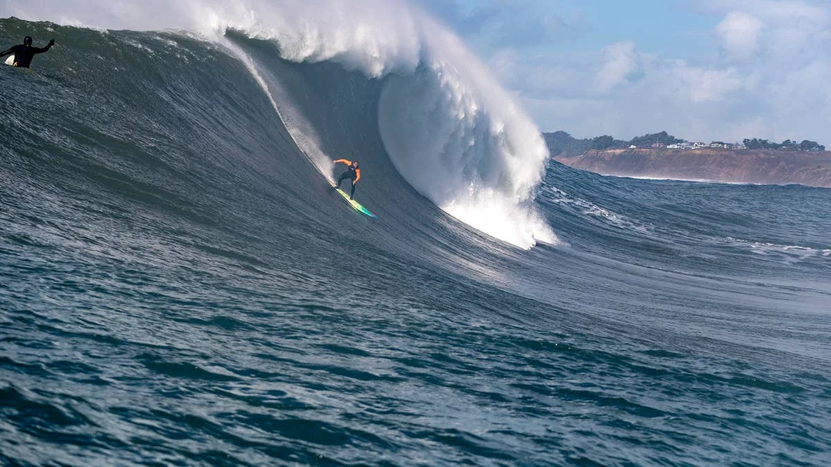
El Niño’s effects are already showing up across the Pacific, from reversed trade winds in the Marshall Islands to tropical fish off Southern California. With record ocean heat and an intensifying storm season adding to the picture, Tropical Storm Rachel may be an early glimpse of what comes next.
Marshall Islands winds break their usual pattern
Martin Daly and the Indies Trader crew have worked out of Majuro for years. In a recent post, they reported that winds normally blowing from the northeast had instead come from the southwest to northwest for four months. They described the shift as unprecedented and attributed it to the super El Niño.
The change has practical consequences for atolls whose settlements are arranged around prevailing winds. Yachts, longliners and workboats have ended up on the beach; power outages, damaged roofs and fallen trees have followed. The crew expects an unusual surf season, too.
El Niño typically weakens trade winds in the Marshalls, with occasional westerly bursts. It can also bring storms closer to the islands and raise cyclone risk. Four months of reversed flow goes well beyond the intermittent westerlies forecasters have described.
Tropical species are appearing off California
Farther east, a fisherman caught a longfinned bigeye at the Venice Fishing Pier. The bright red-orange fish is usually found off Mexico and Baja, and it had never previously been recorded in California waters. The Natural History Museum of Los Angeles County retained the specimen; curator Bill Ludt said it may be the first of more arrivals.
Other sightings add to the pattern. An endangered olive ridley sea turtle nested near Seal Beach in September, the first reported sea turtle nesting in California. A second turtle nested near Huntington Beach Pier, and officials fenced off both sites. A whale shark appeared near the Channel Islands, while hammerheads, mahi mahi and bullet tuna have also been reported. Anglers near Marina del Rey and Santa Monica say they’re catching species and sizes rarely seen locally.
Related: This Is Your Sign To Buy A Super El Niño Big Wave Gun
Record heat is adding fuel
The ocean was already carrying exceptional heat before El Niño emerged. It absorbed a record amount in 2025, gaining about 23 zettajoules—roughly the equivalent of nearly four decades of global primary energy use. Heat in the upper 2,000 metres set a record for the ninth consecutive year, even under weak La Niña conditions.
The Pacific then warmed further. June was the tropical Pacific’s warmest June on record. On August 22, Copernicus measured global sea surface temperature at 21.1°C, just above the previous record. NOAA put the odds of marine heatwave conditions off California and Baja at 80–100%. Marine heatwaves covered 37% of the world’s oceans in July; NOAA says that could rise to 45% this winter, potentially a record.
In its October 8 update, NOAA said El Niño was still intensifying and put the chance of a historically exceptional event between October and December at 83%. It could be stronger than any event in records dating back to 1950.
Rachel offers an early storm-season preview
Tropical Storm Rachel came ashore in northern Baja on October 10 before bringing flooding and damaging surf to Southern California. Waves battered homes and damaged a boardwalk on Long Beach’s Alamitos Peninsula. Flood warnings stretched from San Diego to the Bay Area, and rockslides closed some roads. Baja faced the worst impacts, with more than 400 emergency calls over three days.
El Niño can’t be blamed for any single storm, but warm water helps fuel the eastern Pacific cyclone season, which is running at record levels this year. Forecasters have described Rachel as a preview of the months ahead, when heavy rain, large surf and mudslides are likely.
From Majuro to Venice Pier, the ocean is already signaling change. Rachel brings the prospect of bigger storms and swells into sharper focus; the coming months will show how far this season goes.
Related: Watch: 25-Foot Backwash Explodes as Hurricane Rachel Swell Floods Orange County